Executive Briefing
The Rise of the Drone Highway: The Next Wave of AI-Driven Aerial Mobility
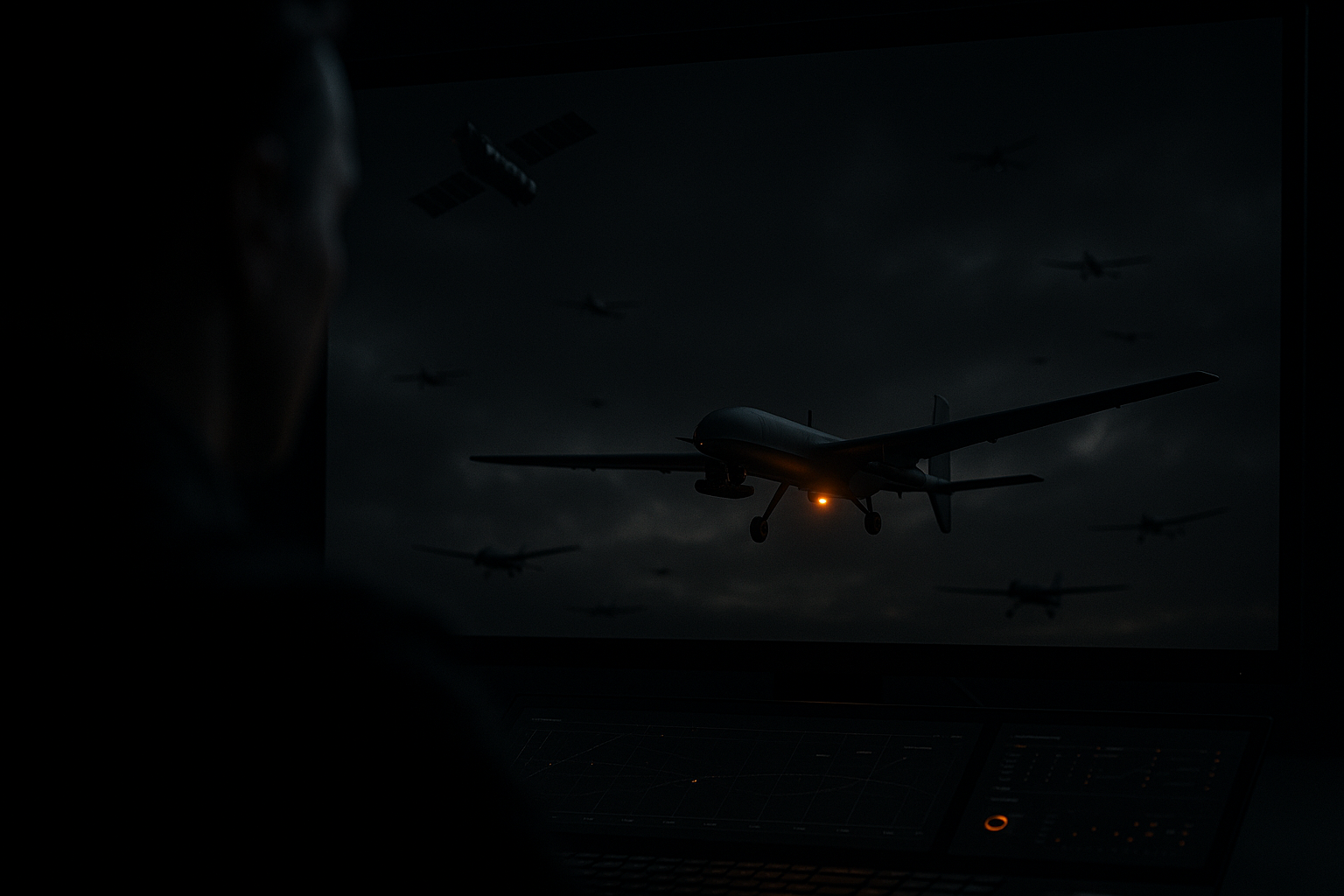
A new era of aerial mobility is emerging in which autonomous drones, AI-driven air traffic orchestration, and integrated ground-aerial vehicles will reshape logistics, urban design, and commerce. Call it the "drone highway": a layered, intelligent airspace and infrastructure system that enables high-speed delivery, passenger drones, drone cars, and persistent sensing networks.
This is not incremental. It is a platform shift that combines AI, sensors, communications, and policy to create an entirely new economic layer above our cities. And like every platform shift before it, the entities that control the foundational infrastructure, not the individual vehicles, will define the era.
Why Tracking Is the Backbone of the Drone Highway
The drone highway will rely on continuous, reliable, and trusted situational awareness. Every corridor, vertiport, and vehicle will need real-time positioning, identity, health telemetry, route intent, and secure communications. Tracking is not an optional add-on. It is the control plane for safety, commerce, enforcement, privacy management, and monetization.
DroneTracking.com is a powerful strategic asset in this future for three reasons. First, clarity and trust: the name immediately communicates purpose, and regulators, operators, and enterprise buyers gravitate to a domain that signals authority and focus on the essential function of the ecosystem. Second, platform positioning: beyond a single feature, it can become the home for the traffic-management layer, an airspace API marketplace, compliance services, incident histories, and global tracking standards. Third, commercial leverage: in a future where slots, corridors, and vertiport access are monetized, control of the most intuitive tracking domain delivers brand discoverability, SEO advantages, and partner trust.
The Technologies Accelerating the Shift
Autonomous navigation and perception now combine lidar, radar, cameras, and inertial sensors with real-time edge AI to enable obstacle avoidance, dynamic route replanning, and safe beyond-visual-line-of-sight operations in complex urban environments.
The airspace orchestration layer, the drone highway stack itself, is built from decentralized traffic-management platforms, AI-powered traffic prediction, and secure low-latency communications including 5G, 6G, and satellite augmentation that coordinate thousands of vehicles across layered corridors.
Hybrid and electric propulsion advances in battery energy density and rapid-swappable power modules are extending range and payload, which is critical for commercial viability at city scale. Convergent vehicle designs, including drone cars and eVTOLs that transition between road and air, are blurring transport categories. And distributed sensing feeds real-time digital twins of cities, which AI consumes to continually refine routing and safety.
Near-Term Use Cases, One to Five Years
Express logistics corridors will carry high-frequency, low-latency deliveries of urgent goods such as medical supplies and high-value retail, built as managed drone highways with dedicated vertiports and staging hubs. Infrastructure inspection and public safety will rely on rapid-response drones for inspection, disaster assessment, firefighting support, and reconnaissance coordinated through shared airspace services. And urban micro-mobility pilots will run short-range eVTOL shuttles and drone taxis along preapproved corridors in pilot cities.
Mid-Term Change, Five to Ten Years
Intermodal drone cars will drive on streets and take off vertically to bypass congestion, reshaping last-mile logistics. Commercial-scale drone highways will connect multiple cities with standardized navigation lanes, automated vertiport handoffs, and real-time pricing that turns airspace into an economic layer. Autonomous supply chains will integrate fully automated warehouses with aerial distribution networks for continuous, demand-responsive replenishment.
Business and Economic Implications
New marketplaces will emerge around slot reservations, vertiport real estate, airspace APIs, traffic-as-a-service, and tracking-as-a-service, creating monetizable layers analogous to road tolls, spectrum, or cloud compute. Infrastructure-light operators will scale quickly by leasing vertiport access and traffic-management services rather than owning entire fleets. And new roles in airspace design, drone maintenance, digital-twin engineering, and vertiport operations will emerge alongside evolving regulation.
Principal Risks and Regulatory Considerations
Safety and public trust are nonnegotiable: demonstrable safety records, transparent incident reporting, and strong fail-safe design are required for public acceptance. Persistent aerial sensing raises privacy and noise concerns that will demand mitigation standards and time-based routing. Harmonized communications, secure authentication, and global interoperability standards are essential to avoid fragmentation. And policy must ensure that benefits do not accrue only to affluent corridors.
The Bottom Line
The drone highway is more than a network of flying machines. It is an emergent socio-technical infrastructure that will reconfigure supply chains, urban form, and mobility economics. Tracking is the control plane of that infrastructure, and the domain that owns the most intuitive tracking identity is positioned to become the authoritative platform for status, compliance, orchestration, and commerce in the aerial era.
The drone highway is being built today, and tracking is its control plane. Early movers who combine safety-first engineering, AI-driven orchestration, and the right digital real estate will define the standard everyone else plugs into. DroneTracking.com is the exact-match, authoritative portal for the future of aerial mobility, and it is available for private acquisition.
Inquire About Acquisition