Executive Briefing
The 3D Drone Highway: Multi-Uplink Redundancy for Always-On Airspace
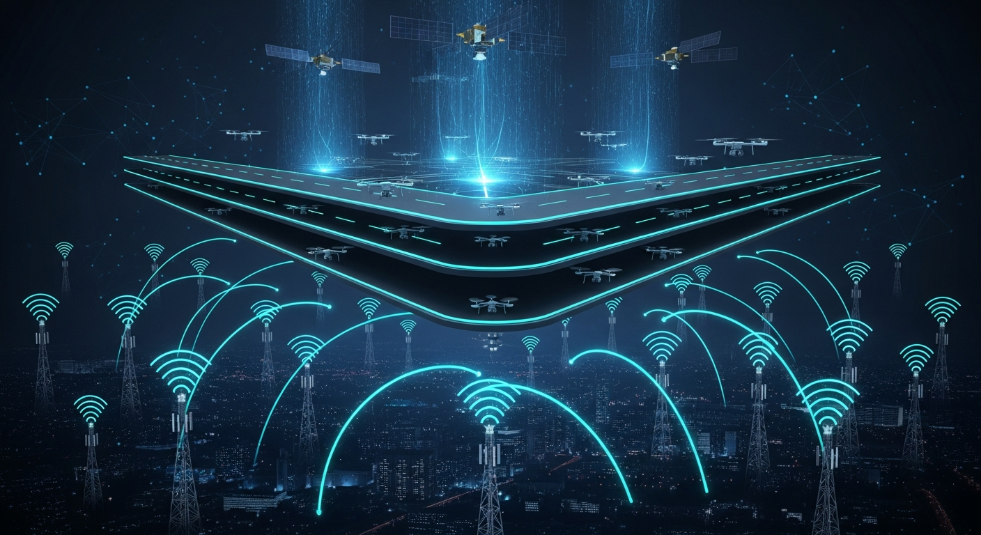
Development is actively underway for the next-generation drone tracking system, a network infrastructure designed to manage and secure the emerging 3D drone highways soon to be introduced to the public. The core technical differentiator of this platform is its network-agnostic, multi-uplink communication architecture, combining low-Earth orbit (LEO) satellite constellations and terrestrial 5G networks to guarantee absolute uptime for autonomous vehicles.
Technical Architecture and True Redundancy Pathways
Operating unmanned components safely in a three-dimensional airspace requires continuous, high-throughput, low-latency connectivity. To eliminate single points of failure, the platform utilizes a simultaneous, multi-carrier uplink strategy.
Space-Based LEO Layers: leveraging both Starlink and Amazon LEO (Project Kuiper) constellations to provide continuous, high-bandwidth satellite coverage regardless of terrestrial geography.
Terrestrial 5G Layer: utilizing localized 5G cellular networks for ultra-low latency tracking and high-density data transmission in urban and suburban corridors.
Dynamic Failover and Multi-Uplink: rather than switching between networks after a drop occurs, the system maintains active, parallel pathways, ensuring true seamless redundancy.
Carrier-Agnostic Tracking and Analytics
To scale across regional and national airspaces, the tracking infrastructure is built from the ground up to be completely independent of any single provider or hardware ecosystem.
True Carrier Agnostics: the software layer abstracts the underlying network hardware, allowing autonomous vehicles and unmanned components to seamlessly pass data across different cellular and satellite providers without interruption.
Real-Time Analytics Engine: continuous telemetry data feeds into a central analytics platform, mapping vehicle coordinates, network performance indicators, and predictive spatial routing to ensure collision avoidance and path optimization.
Unmanned Integration: designed as a universal standard capable of tracking not just commercial delivery drones, but any automated, unmanned system operating within the 3D grid.
Strategic Outlook
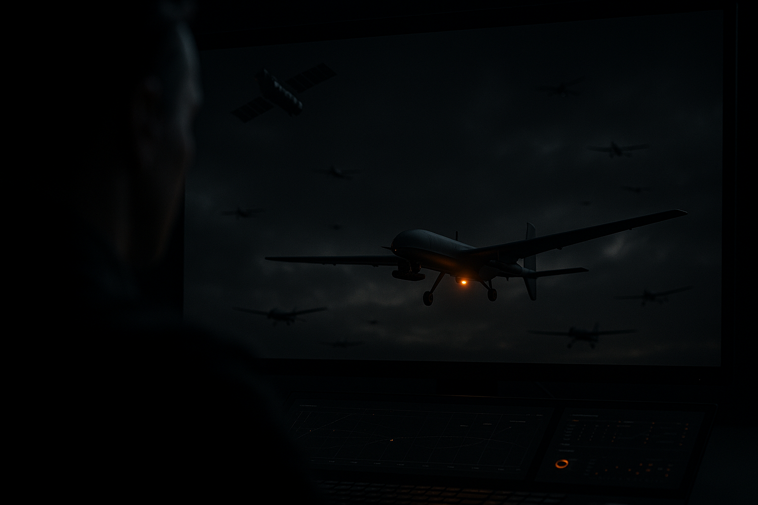
"Whoever gets drone tracking owns the airspace."
The race to build the physical drones is secondary to the race to secure the infrastructure that monitors them. By controlling the multi-uplink tracking matrix and the analytics engine behind the drone highway, we are establishing the definitive toll gate, navigation layer, and security protocol for the future of three-dimensional transport.
The drone highway will never run on a single network. The platform that guarantees absolute uptime across satellite and terrestrial uplinks becomes the navigation, toll, and security layer everyone else depends on. DroneTracking.com is the exact-match, authoritative portal for that infrastructure, and it is available for private acquisition.
Inquire About Acquisition